Northern communities will be able to better prepare for flooding thanks to a new flood hazard mapping program.
An investment of $8.69 million from the Province will go towards the creation of new flood-plain maps covering more than 70 communities.
Completion of the maps is slated for next March, at which point they will become available for both communities and the public.
They will help to inform mitigation projects, as well as help to establish appropriate zoning and flood construction levels.
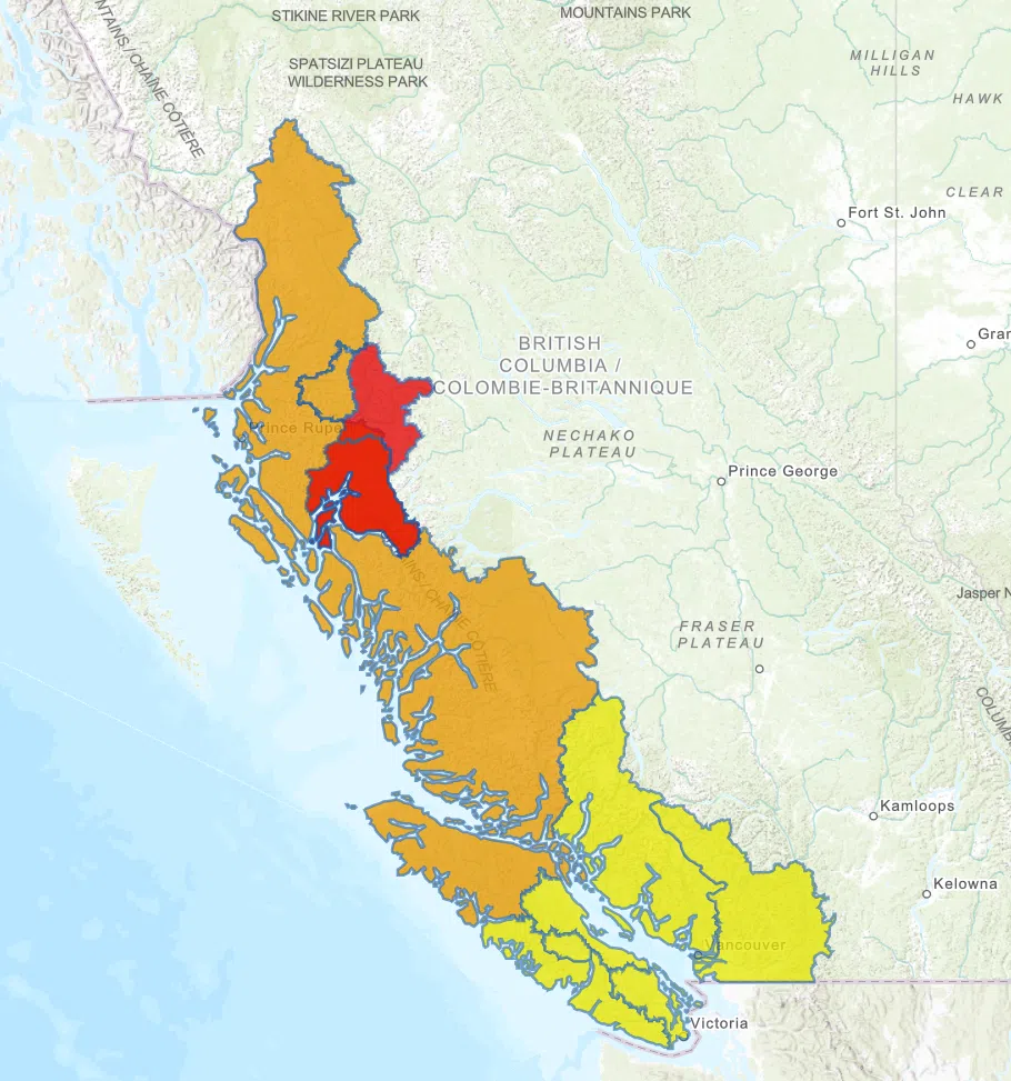
Of the first five maps being drawn up, two will cover areas of the North.
Those include: the Bukley and Skeena Rivers from Houston to downstream of Terrace, and the Fraser and Nechako Areas in the Prince George area.






Comments